Search Constraints
« Previous |
1 - 20 of 46
|
Next »
Search Results
Select an image to start the slideshow
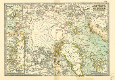
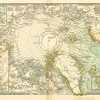
Region around the North Pole : giving the records of the most important explorations
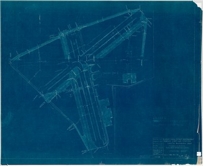
1 of 20
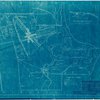
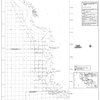
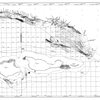
Grading & paving runways & parking areas : plot plan
2 of 20
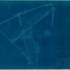
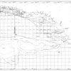
Grading & paving runways & parking areas : station sheet
3 of 20

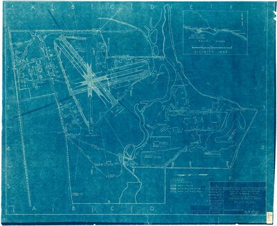
Marine Corps Air Station : Santa Barbara, Calif[ornia]
4 of 20
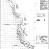
Greenland 1:250,000
5 of 20
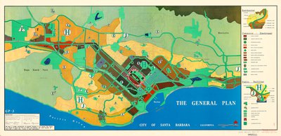
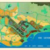
The General plan : City of Santa Barbara, California
6 of 20
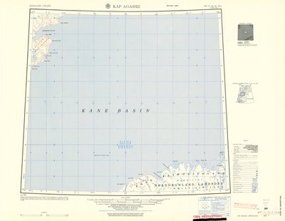
Kap Agassiz
7 of 20
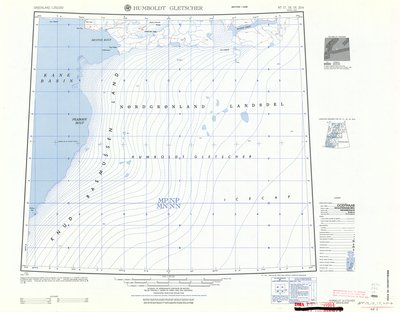
Humboldt Gletscher
8 of 20
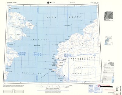
Etah
9 of 20
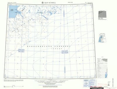
Kap Russell
10 of 20
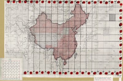
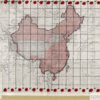
Kitaĭ (China 1:100,000) Index map
11 of 20
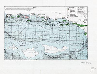
[Map of the Santa Barbara Channel, including all current oil leases and other pertinent data]
12 of 20
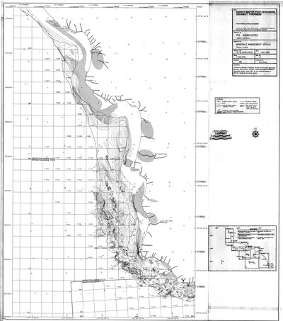
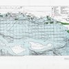
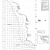
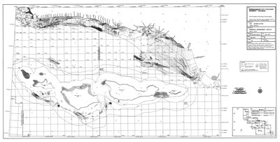
Isopach map of post-Wisconsin sediment thickness : Point Estero to Point Conception
13 of 20
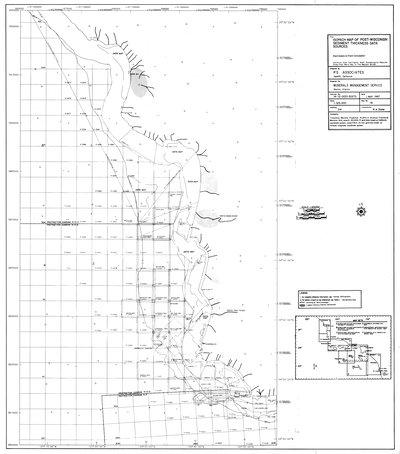
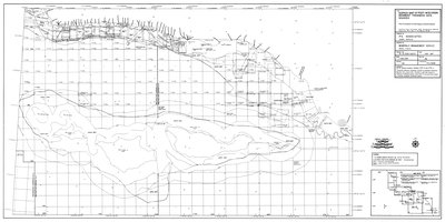
Isopach map of post-Wisconsin sediment thickness data sources : Point Estero to Point Conception
14 of 20
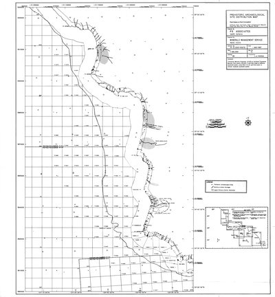
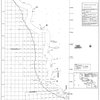
Prehistoric archaeological site distribution map : Point Estero to Point Conception
15 of 20
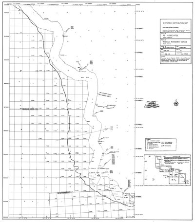
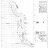
Shipwreck distribution map : Point Estero to Point Conception
16 of 20
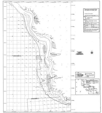
Prehistoric archaeological site predictive model map : Point Estero to Point Conception
17 of 20
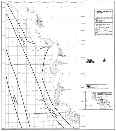
Shipwreck site predictive model map : Point Estero to Point Conception
18 of 20
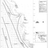
Isopach map of post-Wisconsin sediment thickness : Point Conception to Point Mugu & Channel Islands
19 of 20
Isopach map of post-Wisconsin sediment thickness data sources : Point Conception to Point Mugu & Channel Islands
20 of 20