Search Constraints
Search Results
Select an image to start the slideshow
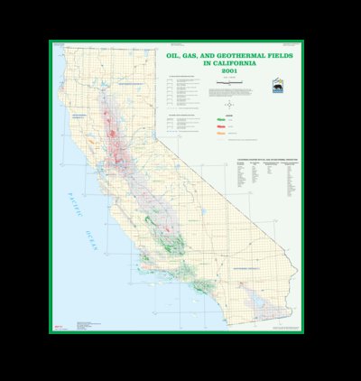
Oil, gas and geothermal fields in California, 2001
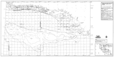
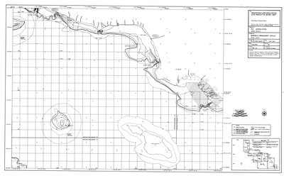
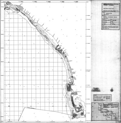
1 of 35
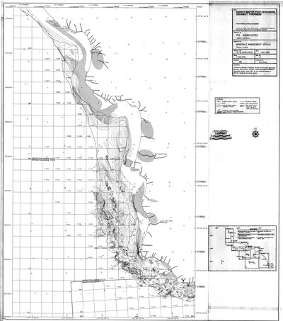
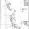
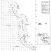
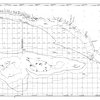
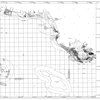
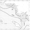
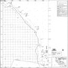
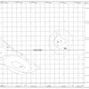
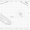
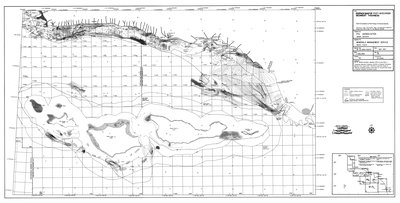
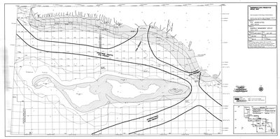
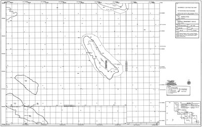
Isopach map of post-Wisconsin sediment thickness : Point Estero to Point Conception
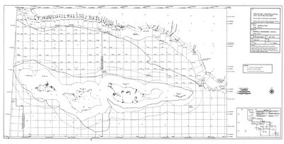
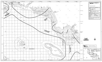
2 of 35
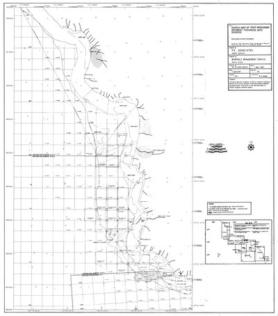
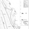
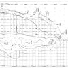
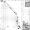
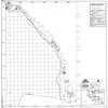
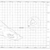
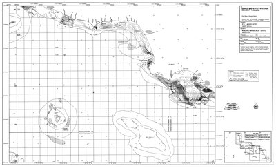
Isopach map of post-Wisconsin sediment thickness data sources : Point Estero to Point Conception
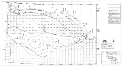
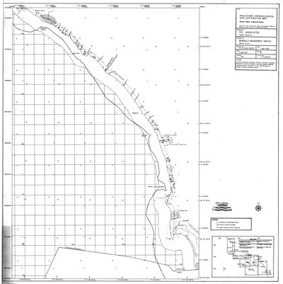
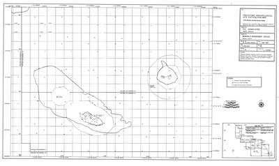
3 of 35
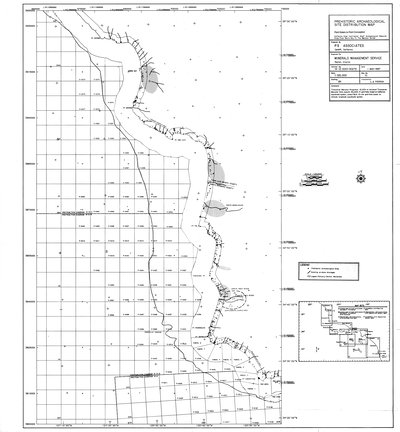
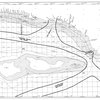
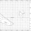
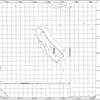
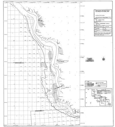
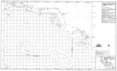
Prehistoric archaeological site distribution map : Point Estero to Point Conception
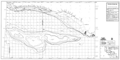
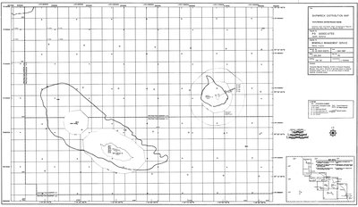
4 of 35
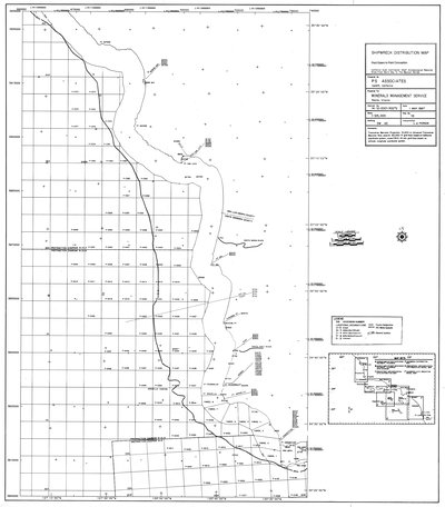
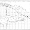
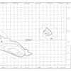
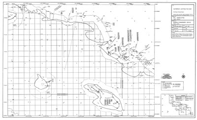
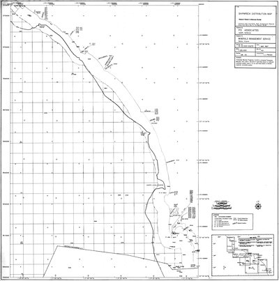
Shipwreck distribution map : Point Estero to Point Conception
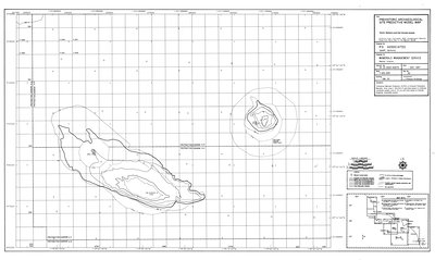
5 of 35
Prehistoric archaeological site predictive model map : Point Estero to Point Conception
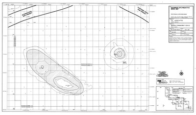
6 of 35
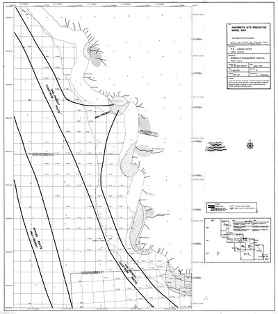
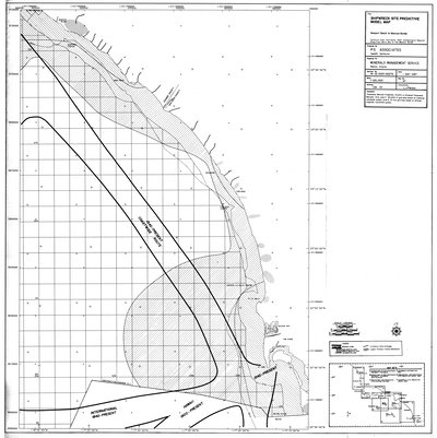
Shipwreck site predictive model map : Point Estero to Point Conception
7 of 35
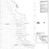
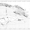
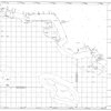
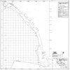
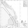
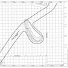
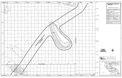
Isopach map of post-Wisconsin sediment thickness : Point Conception to Point Mugu & Channel Islands
8 of 35
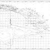
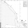
Isopach map of post-Wisconsin sediment thickness data sources : Point Conception to Point Mugu & Channel Islands
9 of 35
Prehistoric archaeological site distribution map : Point Conception to Point Mugu & Channel Islands
10 of 35
Shipwreck distribution map : Point Conception to Point Mugu & Channel Islands
11 of 35
Prehistoric archaeological site predictive model map : Point Conception to Point Mugu & Channel Islands
12 of 35
Shipwreck site predictive model map : Point Conception to Point Mugu & Channel Islands
13 of 35
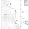
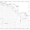
Isopach map of post-Wisconsin sediment thickness : Point Mugu to Newport Beach
14 of 35
Isopach map of post-Wisconsin sediment thickness data sources : Point Mugu to Newport Beach
15 of 35

Prehistoric archaeological site distribution map : Point Mugu to Newport Beach
16 of 35
Shipwreck distribution map : Point Mugu to Newport Beach
17 of 35
Prehistoric archaeological site predictive model map : Point Mugu to Newport Beach
18 of 35
Shipwreck site predictive model map : Point Mugu to Newport Beach
19 of 35
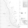
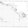
Isopach map of post-Wisconsin sediment thickness : Newport Beach to Mexican Border
20 of 35

Isopach map of post-Wisconsin sediment thickness data sources : Newport Beach to Mexican Border
21 of 35
Prehistoric archaeological site distribution map : Newport Beach to Mexican Border
22 of 35
Shipwreck distribution map : Newport Beach to Mexican Border
23 of 35

Prehistoric archaeological site predictive model map : Newport Beach to Mexican Border
24 of 35
Shipwreck site predictive model map : Newport Beach to Mexican Border
25 of 35
Isopach map of post-Wisconsin sediment thickness : Santa Barbara and San Nicholas Islands
26 of 35
Isopach map of post-Wisconsin sediment thickness data sources : Santa Barbara and San Nicholas Islands
27 of 35
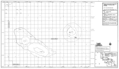
Prehistoric archaeological site distribution map : Santa Barbara and San Nicholas Islands
28 of 35
Shipwreck distribution map : Santa Barbara and San Nicholas Islands
29 of 35
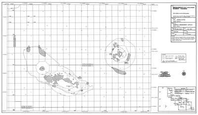
Prehistoric archaeological site predictive model map : Santa Barbara and San Nicholas Islands
30 of 35
Shipwreck site predictive model map : Santa Barbara and San Nicholas Islands
31 of 35
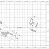
Shipwreck distribution map : San Clemente Islands, Tanner & Cortes Banks
32 of 35
Shipwreck site predictive model map : San Clemente Islands, Tanner & Cortes Banks
33 of 35

Archaeological resource study : Morro Bay to Mexican Border : final report
34 of 35
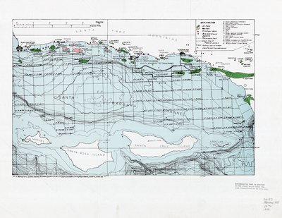
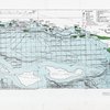
[Map of the Santa Barbara Channel, including all current oil leases and other pertinent data]
35 of 35