Search Constraints
« Previous |
21 - 40 of 3,715
|
Next »
Search Results
Select an image to start the slideshow

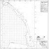
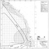
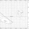
Isopach map of post-Wisconsin sediment thickness data sources : Newport Beach to Mexican Border
1 of 20
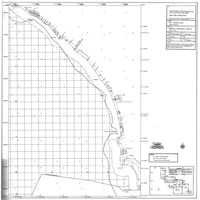
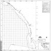
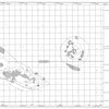
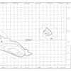
Prehistoric archaeological site distribution map : Newport Beach to Mexican Border
2 of 20
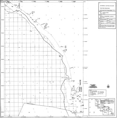
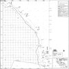
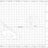
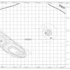
Shipwreck distribution map : Newport Beach to Mexican Border
3 of 20

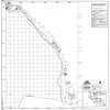
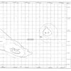
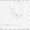
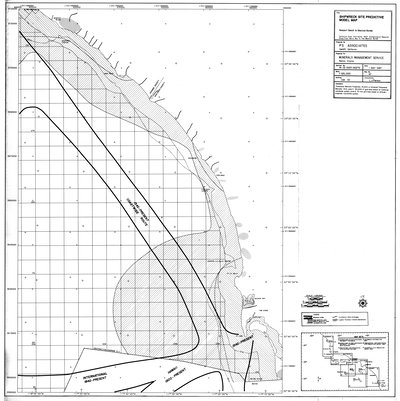
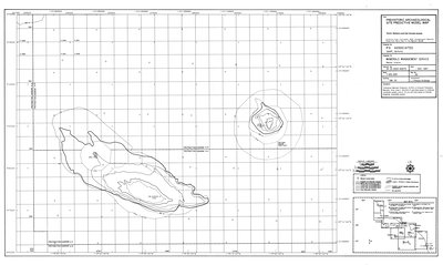
Prehistoric archaeological site predictive model map : Newport Beach to Mexican Border
4 of 20
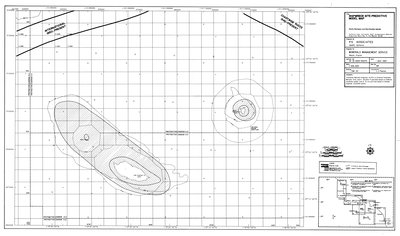
Shipwreck site predictive model map : Newport Beach to Mexican Border
5 of 20
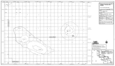
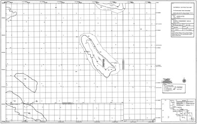
Isopach map of post-Wisconsin sediment thickness : Santa Barbara and San Nicholas Islands
6 of 20
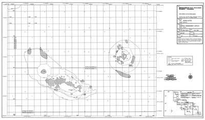
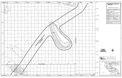
Isopach map of post-Wisconsin sediment thickness data sources : Santa Barbara and San Nicholas Islands
7 of 20
Prehistoric archaeological site distribution map : Santa Barbara and San Nicholas Islands
8 of 20
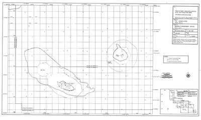
Shipwreck distribution map : Santa Barbara and San Nicholas Islands
9 of 20
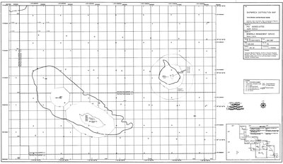
Prehistoric archaeological site predictive model map : Santa Barbara and San Nicholas Islands
10 of 20
Shipwreck site predictive model map : Santa Barbara and San Nicholas Islands
11 of 20
Shipwreck distribution map : San Clemente Islands, Tanner & Cortes Banks
12 of 20
Shipwreck site predictive model map : San Clemente Islands, Tanner & Cortes Banks
13 of 20

Archaeological resource study : Morro Bay to Mexican Border : final report
14 of 20

Daily nexus, December 2, 1976
15 of 20
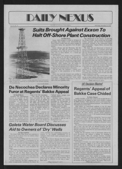
Daily nexus, November 24, 1976
16 of 20
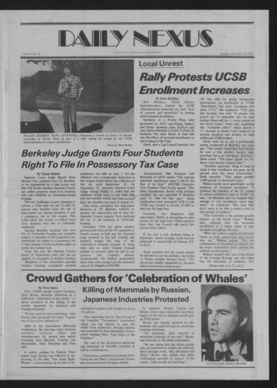
Daily nexus, November 23, 1976
17 of 20
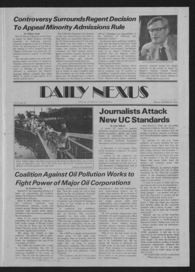
Daily nexus, November 22, 1976
18 of 20

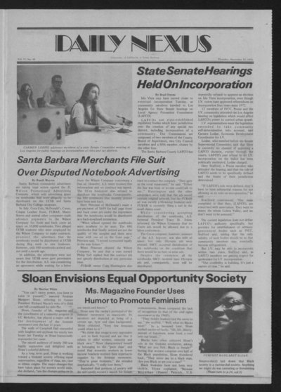
Daily nexus, November 19, 1976
19 of 20
Daily nexus, November 18, 1976
20 of 20