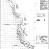
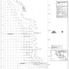
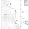
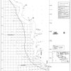
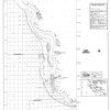
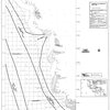
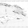
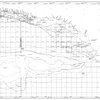
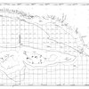
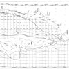
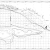
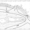
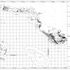
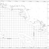
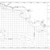
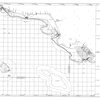
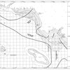
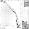
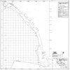
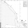
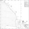
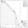
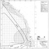
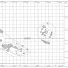
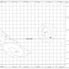
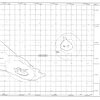
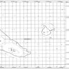
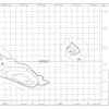
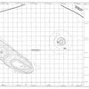
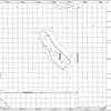
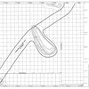
Shipwreck site predictive model map : Santa Barbara and San Nicholas Islands

- Creator:
- PS Associates (Cardiff by the Sea, Calif.)
- Variant Title:
- 5F
- Publisher:
- United States. Minerals Management Service
- Issued Date:
- 1987
- Topics:
- Continental shelf and Excavations (Archaeology)
- Places:
- California, Southern and Pacific Coast (Calif.)
- Genres:
- coastal zone maps
- Physical Description:
- 1 map : black and white
- Scale:
- 1:125,000
- Format:
- Map
- Collection(s):
- Maps of California
- Library Location:
- Map and Imagery Laboratory
- ARK:
- ark:/48907/f3mk6fmz
- Local Identifier:
- 9507 n2446 1987 p7 5f
- Rights:
 No Copyright - United States
Collection Attributes
| Collections | |
|---|---|
| Map Sets |